Featured Article
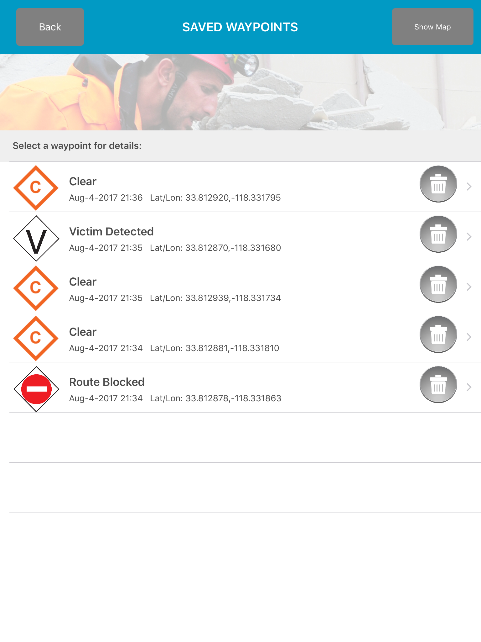
FEMA Waypoints and Tracking sets
Disaster Surveyor has incorporated the most comprehensive set of GPS marker icons as utilized by both the United Nations INSARAG teams and the U.S. FEMA GPS marker sets. As a search and rescue worker begins his route, an automated Tracker can be set with increments of 1, 5, 10, 15, 30,