Great apps
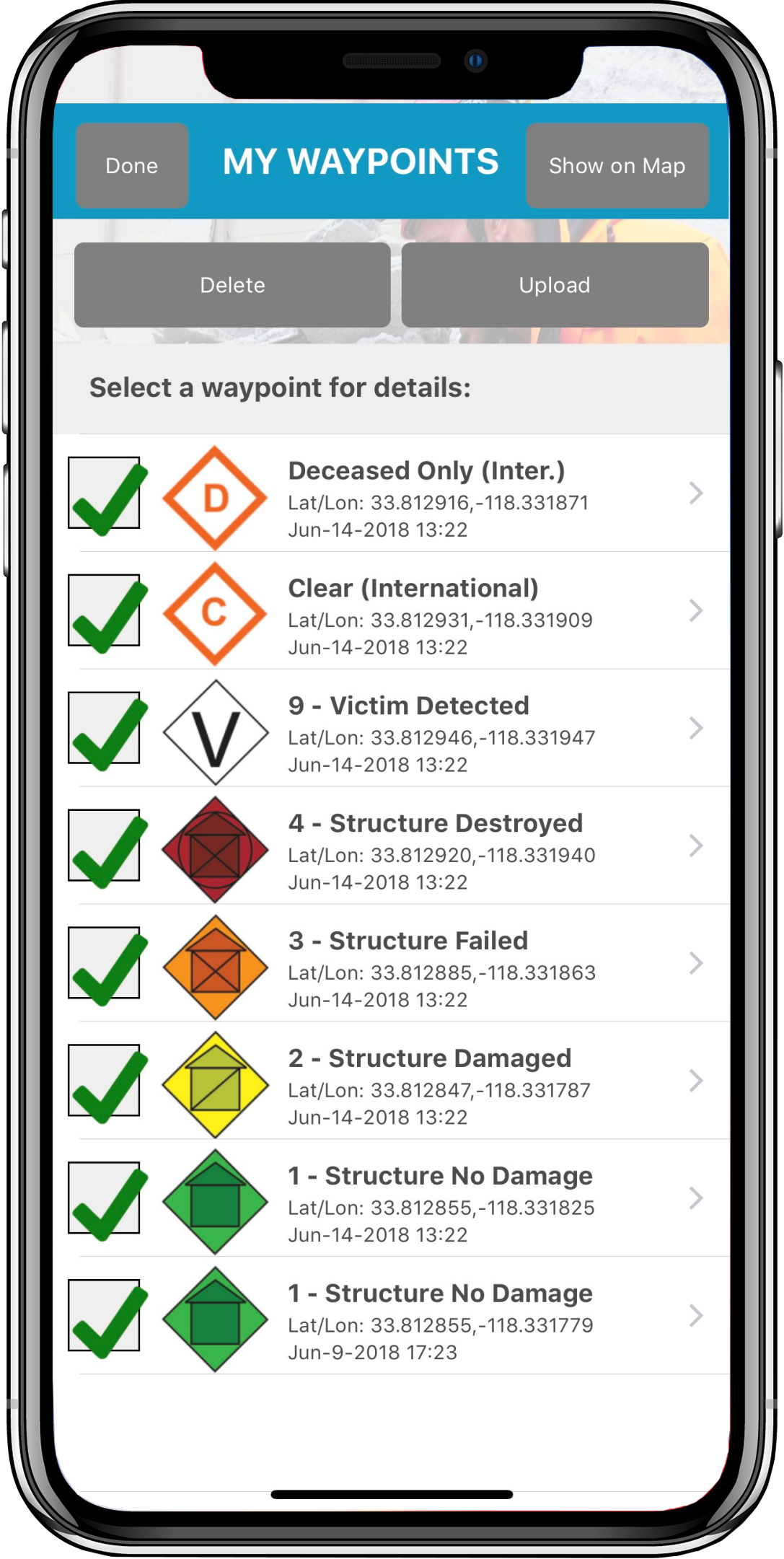
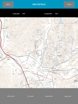
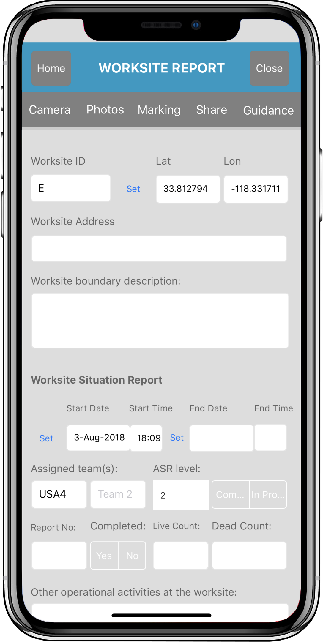
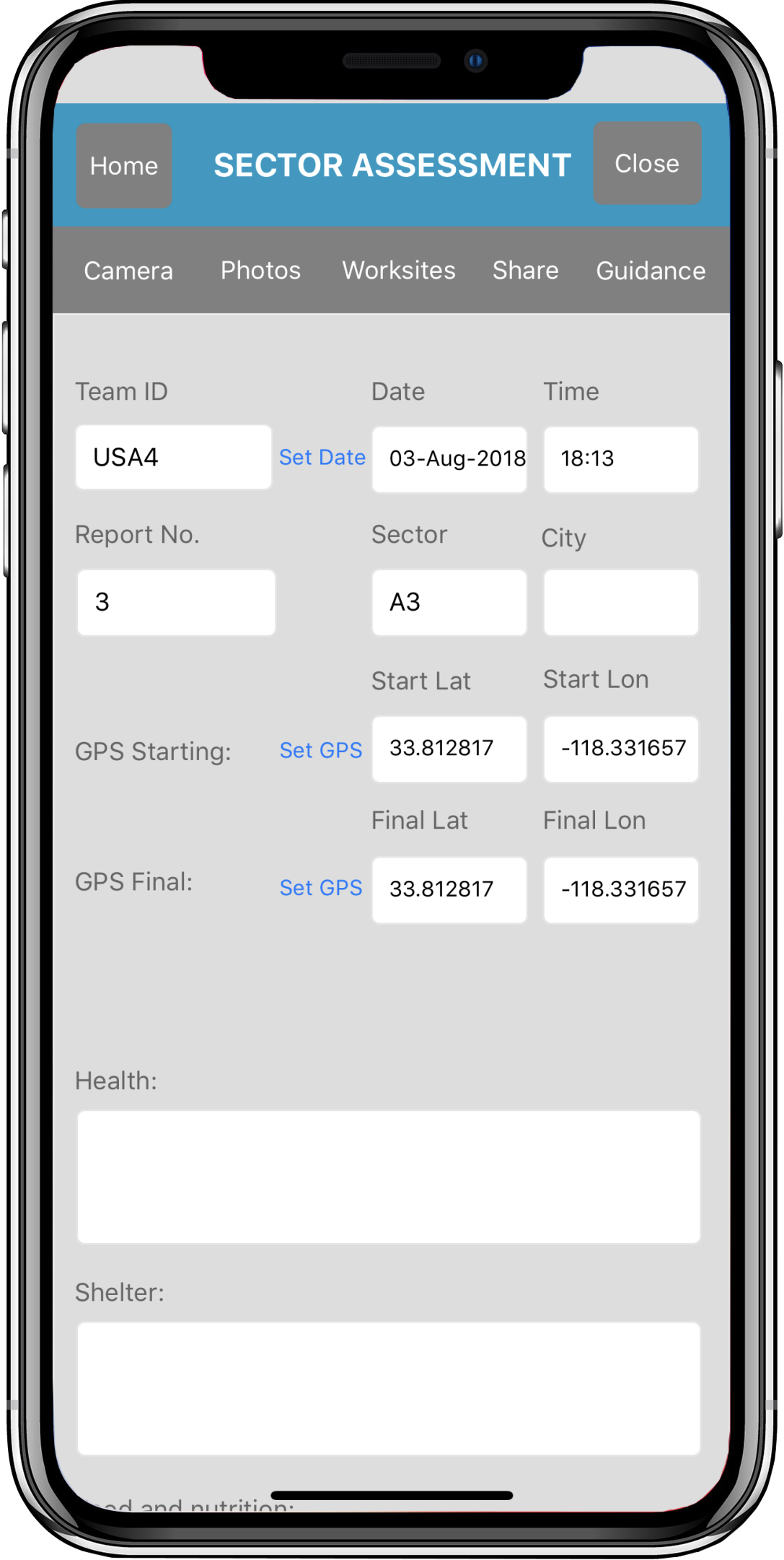
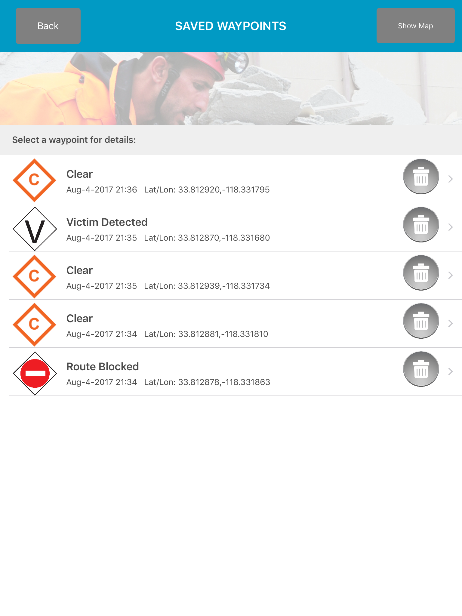
GPS Tracks and Waypoints
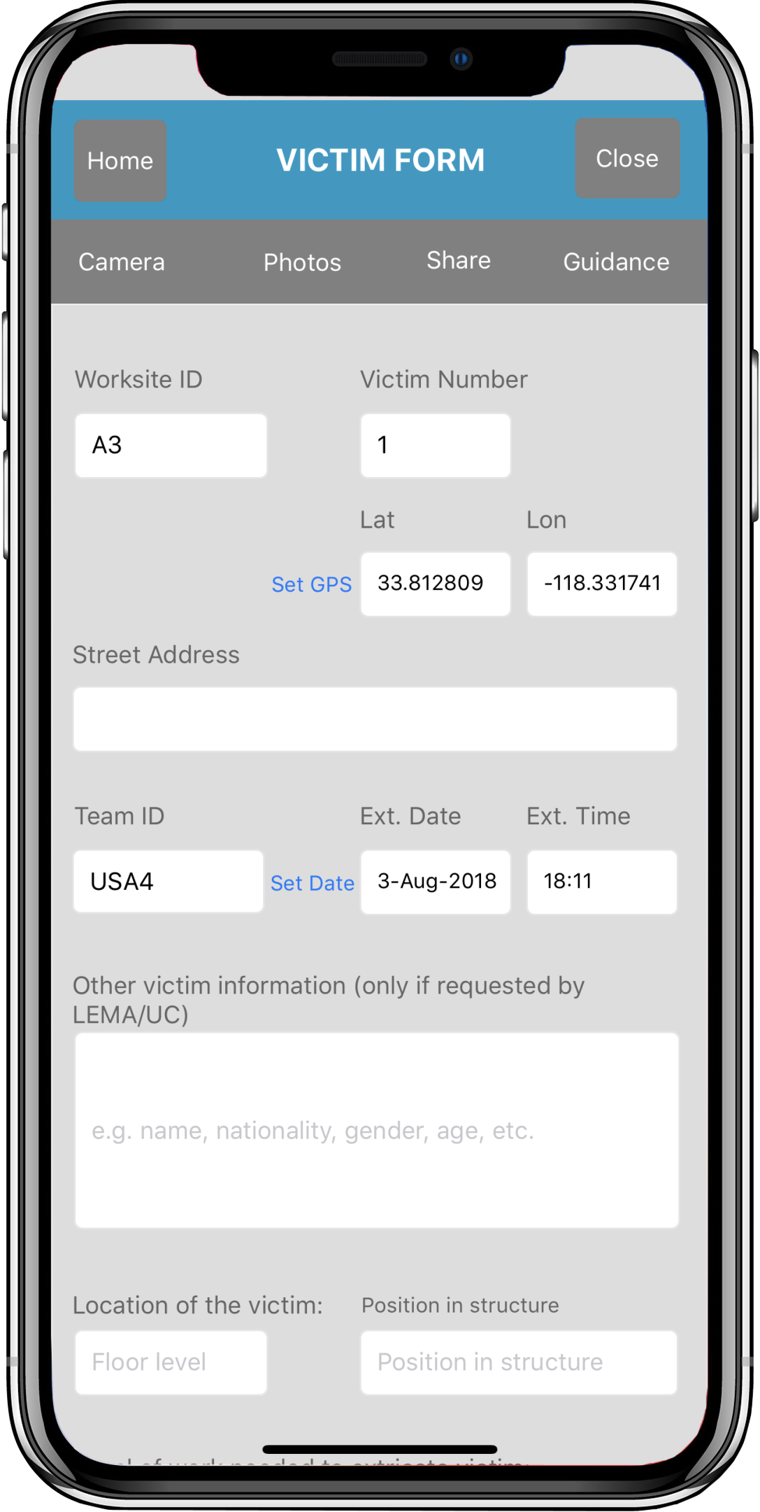
The GPS and Waypoints features of Disaster Surveyor have been designed with years of real world search and rescue experience to focus on the key core features that have been found useful over time. In addition to the main GPS bearings, Disaster Surveyor can keep