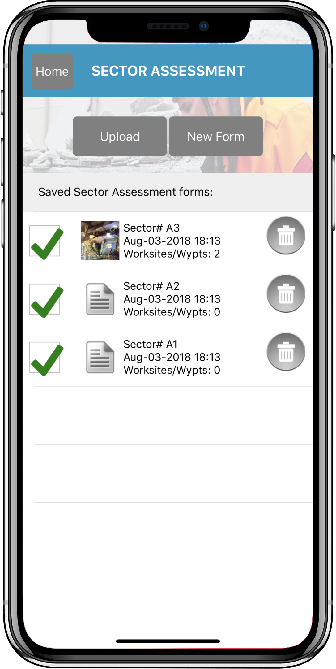
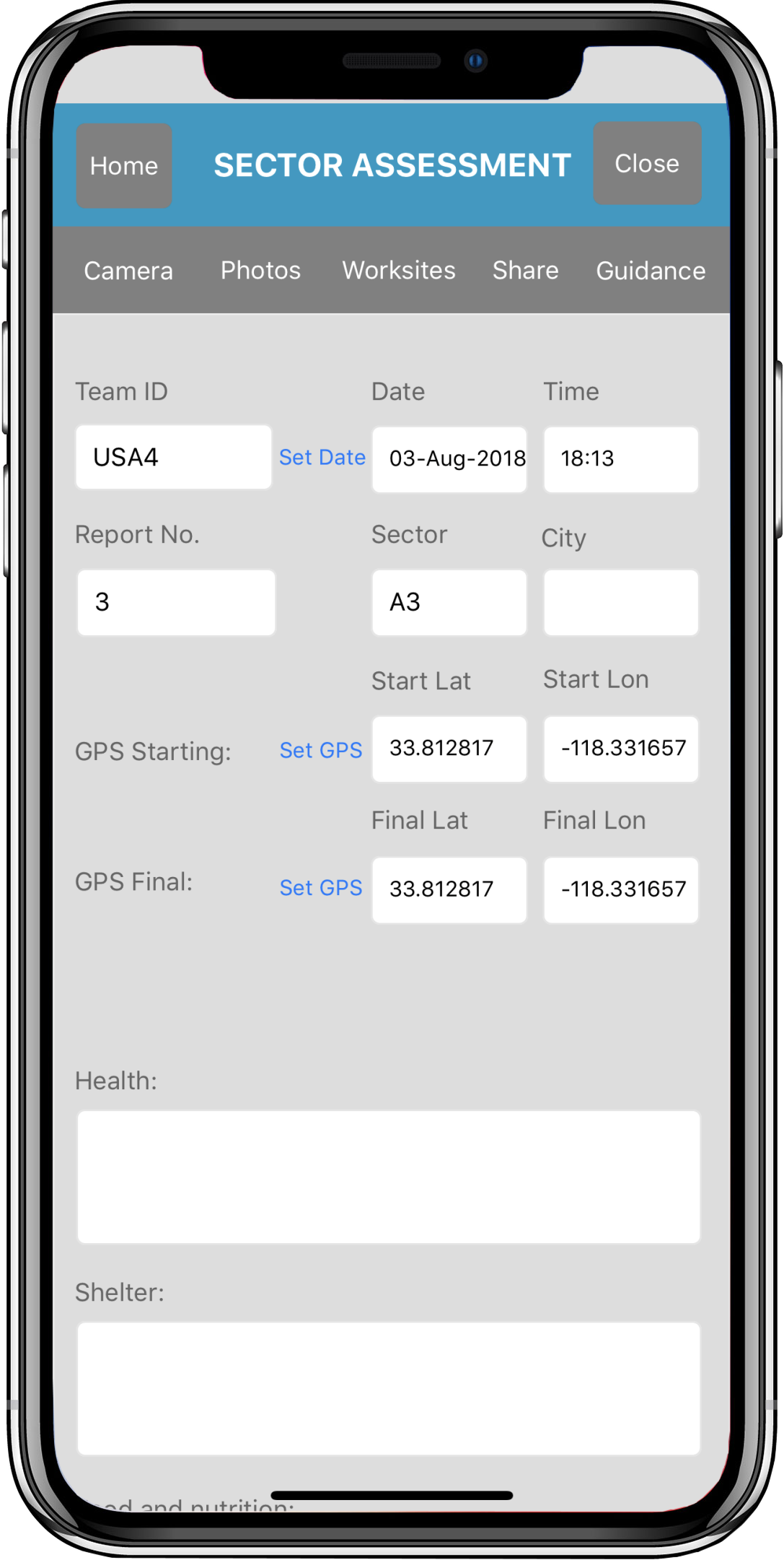
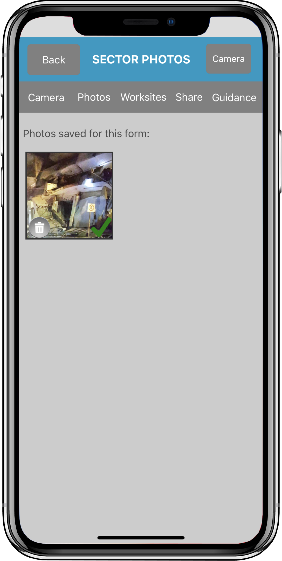
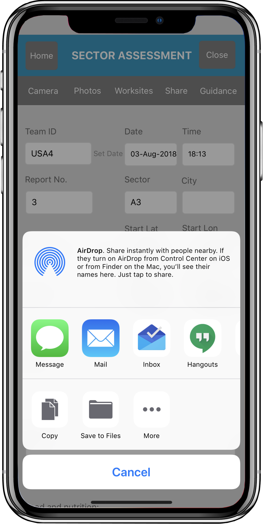
The Sector Assessment forms help create an overall picture of the entire sector including all its worksites and victim forms during search and rescue operations. The forms comply with United Nations INSARAG sector assessment forms. The home screen for your sector assessment forms displays a checkbox to indicate which forms to upload when the ‘Upload’ button is pressed and top level info on the form including: Sector ID, Date/Time, and number of worksite forms and waypoints attached to the Sector form. Each form has the ability to add multiple photos taken with the app, assign saved worksites that belong in the Sector, assign waypoints that belong in the Sector, some general INSARAG guidelines for the form, as well as the ability to share the form via URL link to another Disaster Surveyor app user, or, if clicked outside of the app by the recipient, to see the full PDF version of the report along with any attached photos, list of worksite triage forms, and list of waypoints. When a data signal is not available, changing the settings to “Offline mode” switches the sharing from URL link, to a text JSON packet that will share the form via Bluetooth to another Disaster Surveyor app user. Automatic identification of which user, what GPS lat/long, and what team ID are automatically saved upon form creation, for use in team group management in the Commander Edition web-based dashboard.